Pacemaker Fishing Forum
Welcome Aboard!
You are not logged in.
#1 Mar-15-10 6:00PM
- Ernie
- Administrator

- From: Ashburn VA
- Registered: Feb-03-06
- Posts: 15644
The flood, winter 2010.....
I took some pictures on the way home from work. The 1st two as I am about to get on the GW Pkwy....you can see the mouth of Columbia Island Marina. The 14th St Bridge would be just to the right.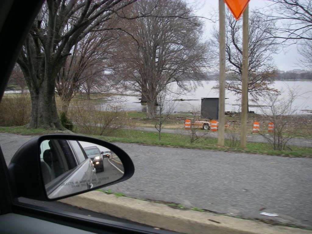
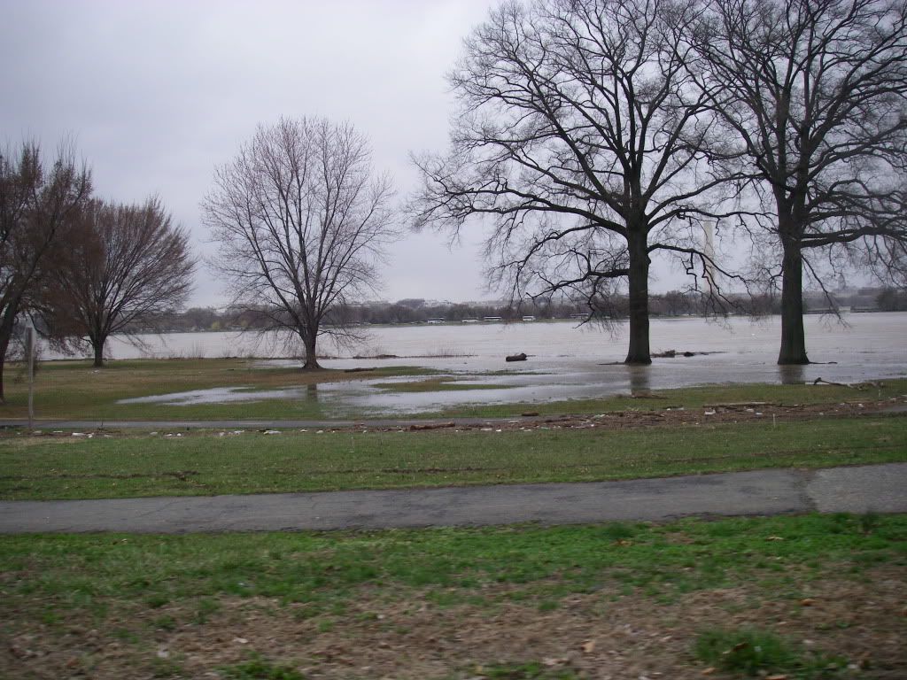
This is a wider section of the river between the 14th St Bridge and Roosevelt Bridge. There used to be a bike path down there somewhere.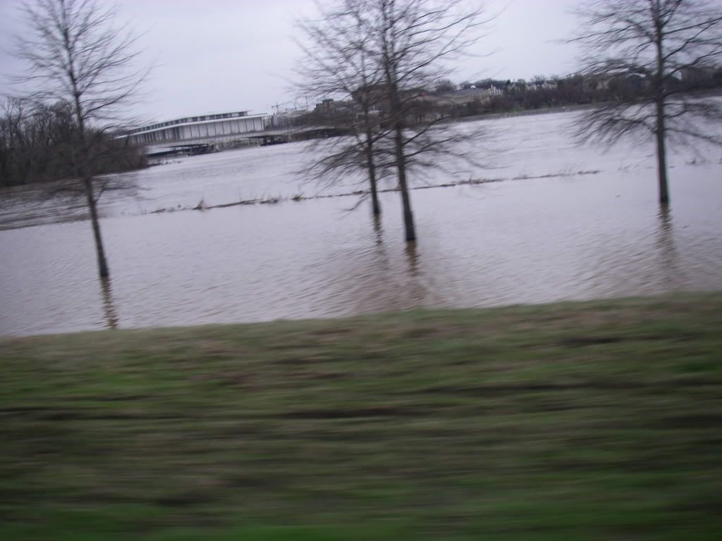
And here is Fletchers's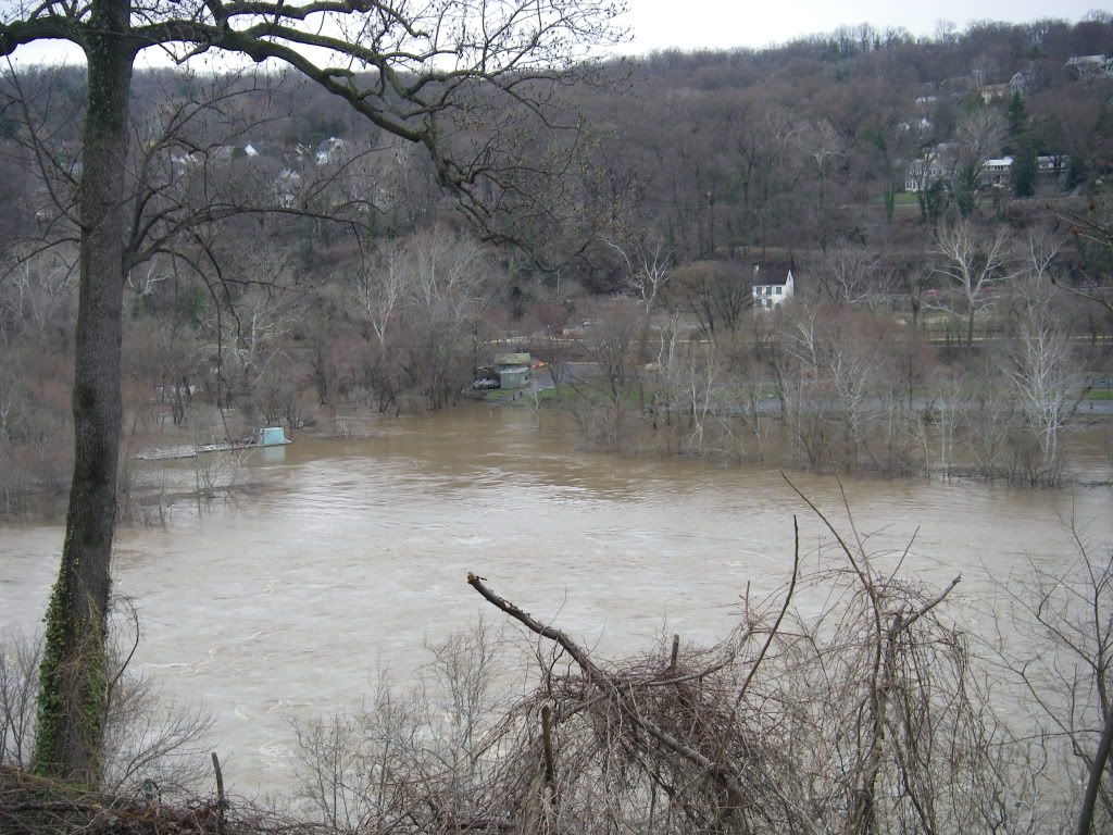
And a closer shot!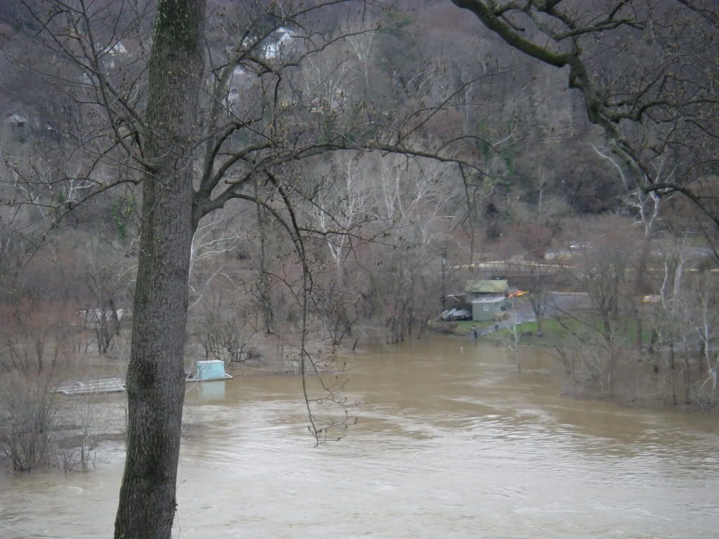
George Thurston took some nice shots of the UP and put them up on RS....wow is all I can say!
http://riversmallies.invisionzone.com/i … ntry522611
Time to go fishin' again!
Offline
#2 Mar-15-10 6:16PM
- redskinsfan360
- Patagonian Toothfish
- From: VA
- Registered: Mar-10-08
- Posts: 1389
Re: The flood, winter 2010.....
Algonkian had a lot of water in those pics! Never seen anything like that!
Offline
#3 Mar-15-10 7:07PM
- Dominion Dan
- Patagonian Toothfish
- From: Falls Church, VA
- Registered: May-24-08
- Posts: 1059
Re: The flood, winter 2010.....
wow. I can't wait for summer. Say what you want about hot and humid but I prefer it over wet, soggy, or cold any day!
Offline
#4 Mar-16-10 4:29AM
- Ernie
- Administrator
- From: Ashburn VA
- Registered: Feb-03-06
- Posts: 15644
Re: The flood, winter 2010.....
BTW, this was at LOW tide.
Time to go fishin' again!
Offline
#5 Mar-16-10 6:32AM
- NOVAhunter
- Northern Snakehead
- From: Ashburn, va
- Registered: Mar-03-09
- Posts: 369
Re: The flood, winter 2010.....
I crossed over the potomac on 15 at point of rocks sunday morning around 730 and the water line was about 10 yards from the deck/house there on the right as you approach the bridge. I have the gut feeling that they may have been underwater as the levels continued to rise during the day.
Last edited by NOVAhunter (Mar-16-10 8:01AM)
Offline
#6 Mar-17-10 6:49PM
- Ernie
- Administrator
- From: Ashburn VA
- Registered: Feb-03-06
- Posts: 15644
Re: The flood, winter 2010.....
Check out the Potomac and the Susquehanna Flats (head of the Bay)......latte!
http://rapidfire.sci.gsfc.nasa.gov/subs … terra.250m
Time to go fishin' again!
Offline